
Enchanted Circle Scenic Byway (NM): 84 Miles of Magic and Vibes!
Enchanted Circle Scenic Byway
Most road trips are about the destination, but on Northern New Mexico’s Enchanted Circle, the journey is the point.
In just 84 miles, you’ll climb from high-desert mesas into lush alpine forests, passing 1,000-year-old pueblos, neon-lit ski towns, and the ghost of a gold-rush past. Whether you’re chasing the golden aspens in the fall or the freshest powder in the winter, this loop around Wheeler Peak (the state’s highest point) isn’t just a drive—it’s a time machine with better scenery.
October 2025: People drive this loop for many reasons: the skiing, the art, the thin mountain air. On this particular visit, we drove it for a brick. Specifically, a memorial brick at the Vietnam Veterans Memorial in Angel Fire.
Jason’s Dad spent much of his later life reconciling with his time in the war, a quiet battle he fought long after the uniform was put away. After he passed away in 2024, we knew we had to make this trip. Standing there, seeing his newly laid brick, the ‘Enchanted Circle’ felt less like a tourist route and more like a sacred path—a way to honor his journey and finally bring him to a place of rest and recognition.


Enchanted Byway – A Brief History
The history of the Enchanted Circle spans thousands of years, evolving from ancient trails to a modern-day National Forest Scenic Byway.
Puebloan & Indigenous Roots: Long before paved roads, the “Old Kiowa Trail” at the base of the mountains was used by Plains Indians and Puebloan peoples. Taos Pueblo, located on the loop, is a UNESCO World Heritage site and has been continuously inhabited for over 1,000 years, making it one of the oldest residential communities in North America.
Mining & Resilience: Towns like Red River and Questa grew from mining roots. Red River was originally “River City,” a rough-and-tumble mining camp, while Questa (founded in 1842) was a Spanish settlement that later became a major source of molybdenum.
The Gold Rush Era: In the late 1800s, the Moreno Valley became a hub for prospectors. Elizabethtown (now a ghost town on the byway) was founded in 1870 and was the first incorporated town in New Mexico. At its peak, it housed 7,000 residents and dozens of saloons, though it largely died out after the gold and copper mines dwindled.
The “Mountain Playground” Concept: In the late 1920s, Red River began marketing itself as a “mountain playground” for residents of the hot “flatlands” (Texas and Oklahoma).
Skiing and Infrastructure: The post-WWII boom saw the development of Taos Ski Valley (1955) and Red River Ski Area (1959).
Cinematic Allure: The byway was famously used as a backdrop for the counterculture classic Easy Rider (1969) and the western Butch Cassidy and the Sundance Kid. This cemented the area’s image in the American psyche as a place of rugged freedom and breathtaking scale
A Place of Pilgrimage: Since the 1970s, the byway is home to the Vietnam Veterans Memorial State Park in Angel Fire.
Economic Value of the Enchanted Byway loop
Today, the Enchanted Circle is a primary economic lifeline to the small towns on the loop.
Angel Fire and Red River have transitioned from mining and ranching to year-round resort economies. They rely on the byway to bring in skiers in the winter and mountain bikers/hikers in the summer.
The byway acts as a “collaborative economic zone”. While each town competes for visitors, they all benefit from the “circle” concept. This ensures that a visitor staying in Angel Fire will likely eat lunch in Red River and buy art in Taos, distributing wealth across the entire Sangre de Cristo region.
(Source: Gemini AI, largely dependent on M Vacation Properties & Resorts)


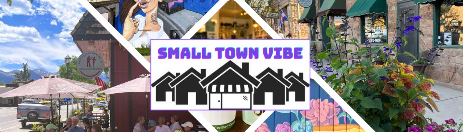
small town vibe roadtrip
Our 5 Must-See Stops along the Loop
Most road trips are about the destination. But on Northern New Mexico’s Enchanted Circle, the journey is the point. In just 84 miles, you’ll climb from high-desert mesas into lush alpine forests, passing 1,000-year-old pueblos, neon-lit ski towns, and the ghost of a gold-rush past. Whether you’re chasing the golden aspens in the fall or the freshest powder in the winter, this loop around Wheeler Peak (the state’s highest point) isn’t just a drive—it’s a time machine with better scenery.
The “Circle” at a Glance (Clockwise Route): If you start and end in Taos, here is how to tackle the loop like a local. However, the cool thing about a loop is that you can start anywhere.
Stop #1: Taos (The Gateway)
- The Vibe: Art, Adobe, and Ancient History.
- Don’t Miss: Taos Pueblo. It’s a UNESCO World Heritage site and the soul of the region.
- Taos (population 6,567 in 2021)
- Small Town Vibe article: Coming soon!
- Taos – Google Maps


Stop #2: Questa (A Hidden Gem)
- The Vibe: Artisan heritage and rugged canyons.
- Don’t Miss: St. Anthony’s Church. Lovingly restored by the community using traditional adobe methods, it’s a testament to the town’s resilience.
- Questa (population 1,742 in 2020)
- Small Town Vibe article: Coming soon!
- Questa – Google Maps


Stop #3: Red River (The Wild West)
- The Vibe: Retro ski town and family-friendly fun.
- Don’t Miss: The main street. It feels like a movie set. Grab a burger, check out the saloons (our favorite is Red River Brewery, and keep an eye out for mule deer wandering through town like they own the place.
- Red River (population 542 in 2020)
- Small Town Vibe article: Coming soon!
- Red River – Google Maps


Stop #4. Angel Fire Vietnam Veterans Memorial
- Vietnam Veterans Memorial State Park in Angel Fire was built by the Westphall family in memory of their son, it was the first memorial of its kind in the U.S. and remains a major historical and spiritual landmark.
- Vietnam Veterans Memorial – Google Maps


Stop #5: Angel Fire (The Outdoor Playground)
- The Vibe: High-altitude thrills.
- Don’t Miss: Angel Fire Ski Resort, set against a massive mountain backdrop
- Angel Fire (population 1,194 in 2020)
- Small Town Vibe article: Coming soon!
- Angel Fire – Google Maps


small town Vibe road trip
A Spotlight on Events

Events
- Revive the Ride (was May Fest in the Mountains) – The largest Veterans motorcycle Ralley in the US,
- late May (Memorial Day weekend) based out of Red River, NM
- (20+) Facebook (website)
- Aspencade Arts Festival
- late September based out of Red River, NM
- Aspencade Arts Festival | Red River, NM (website)
Organizations that support the Enchanted Circle Tourism
- NewMexico.org (The Enchanted Circle) The official state tourism site. It’s the best place for a high-level overview, including seasonal weather advice and a breakdown of the “must-see” stops in each region.
- Taos.org (Enchanted Circle Driving Tour) This is arguably the most practical site for drivers. It offers a downloadable PDF map and a step-by-step itinerary that includes historical markers you might otherwise blink and miss.
- Vietnam Veterans Memorial State Park Official Site Since your primary goal is the memorial brick, this is your most important bookmark. You can find information on the Visitor Center hours, the history of the Westphall family, and maps of the memorial grounds.
- AngelFireNM.gov (Visitor Information) The village’s official page. It provides a localized perspective on the loop and specific details about the Vietnam Veterans Memorial from a community standpoint.
- RedRiver.org Red River is the “Wild West” anchor of the loop. Their site is excellent for finding local eateries and checking their busy festival calendar (like the Red River Memorial Day Motorcycle Rally).
- Questa.org (Visit Questa) Often overlooked, Questa is the “quiet” part of the loop. This site highlights the local artisan culture and the stunning Rio Grande del Norte National Monument nearby.
- Legends of America: Enchanted Circle If you want to dive deeper into the “Gold Rush” history of Elizabethtown or the rough-and-tumble stories of the early miners, this site provides great historical context that standard tourism sites often skip.
- Recreation.gov (Enchanted Circle) Best if you are planning on doing any camping or hiking along the route, as it links directly to Forest Service permits and site reservations.